Tibet → West Tibet → Nepal · On-road
The full western crossing. Everest Base Camp, then a thousand kilometers further west to Manasarovar and Kailash - the mountain four religions call the center of the world - before dropping into Nepal.
The ride
This is the long version, and the one riders talk about afterwards. It carries the whole of the Lhasa-to-Everest ride, then keeps going west along the southern route into Ngari, where the plateau opens out and the traffic disappears.
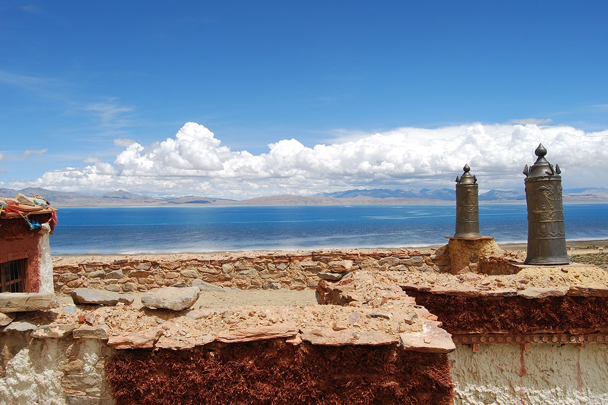
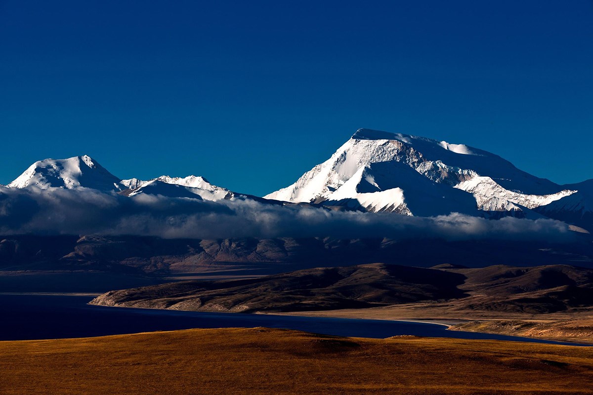
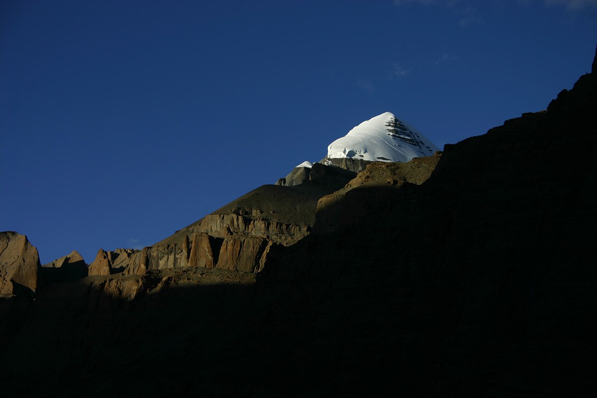
Lake Manasarovar sits at 4,588 m - 330 km² of water, 82 m deep, held between two snow ranges. An hour beyond it is Darchen and Mount Kailash, 6,714 m, sacred to Hindus, Buddhists, Jains and Bön, and the destination of pilgrims from across Asia. You walk a short way at the foot of it rather than riding past.
Then the long return east to Saga and south to Kyirong for the border. Two of the biggest days are 495 km and 492 km on the plateau, so this ride asks for real fitness and flexibility. Private tour throughout, with a Tibetan tour guide and a support vehicle carrying luggage, fuel, spares and oxygen.
Follow the journey, day by day
Lakes, rivers and boundaries in China from the supplied 1:7,400,000 vector map; Nepal, India and Bhutan from Natural Earth. Route connections and stop positions are illustrative, not navigation tracks. Road context © OpenStreetMap contributors via Geofabrik · ODbL · Road extract.
See how the elevation changes, and where the high passes come into the ride.
Elevations shown are itinerary reference figures. Points show destinations or visits, not sleeping elevations; connecting lines are schematic, not continuous terrain. Day 12: ride 25 km to the border, then continue by vehicle to Kathmandu. Its 1,400 m figure represents the onward destination, not the border or an overnight stay.
Surrounding geography: Natural Earth (public domain). Road context © OpenStreetMap contributors via Geofabrik · ODbL · Scoped context road extract.
Arrive Lhasa
Arrive in Lhasa at 3,650 m and transfer to the hotel. Rest, drink water, and let the altitude settle before the riding starts.
Motorcycle license · Sera debate
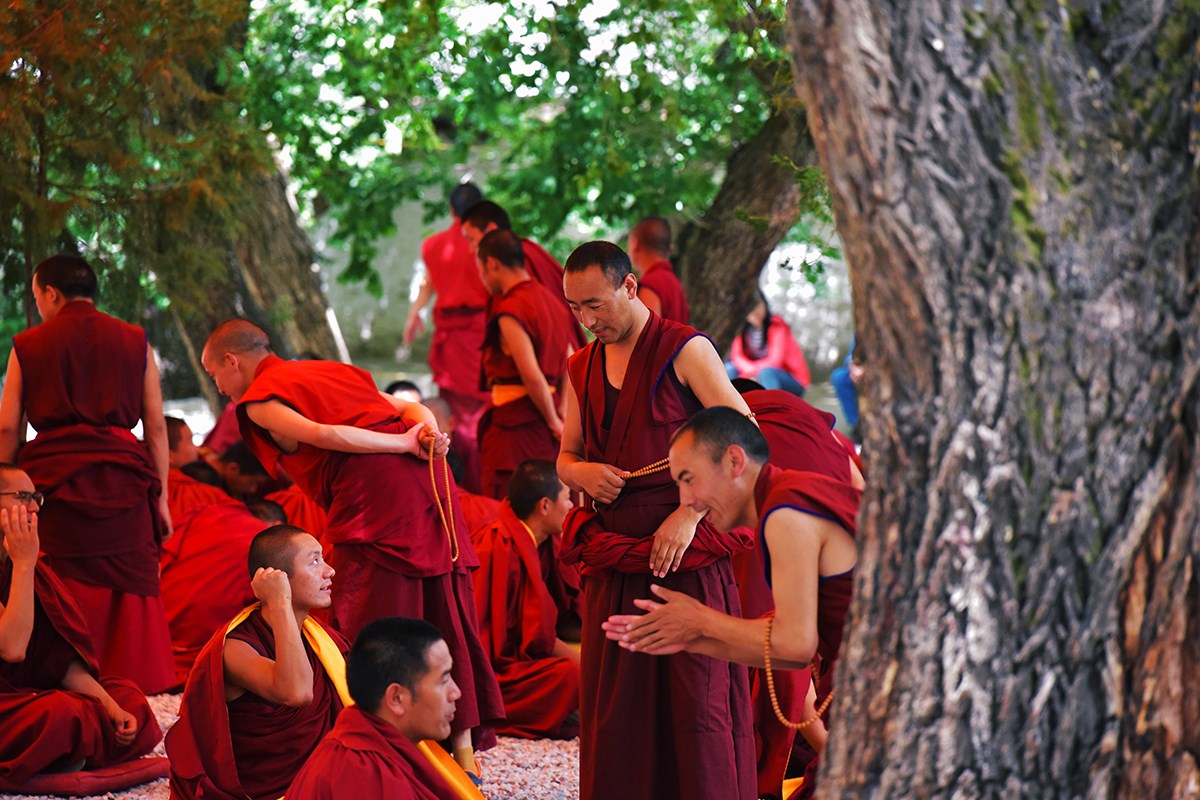
Your temporary Chinese motorcycle license in the morning. In the afternoon Sera Monastery (1419), where the monks’ scripture debates in the courtyard are part of the education, not a performance.
Jokhang · Barkhor · Potala
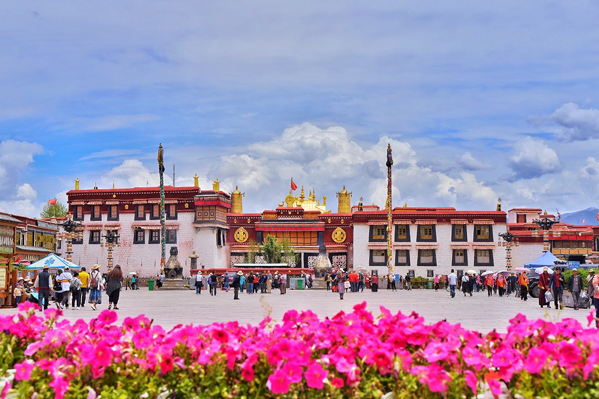
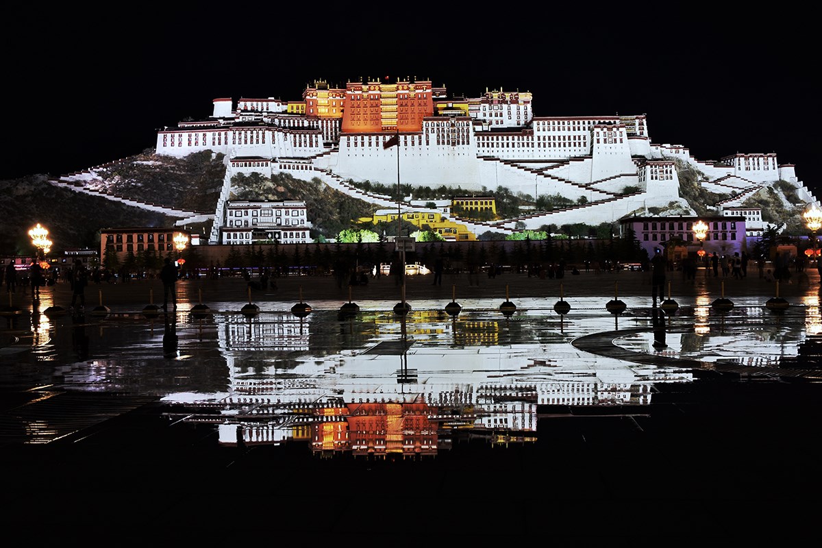
The Jokhang (647) and the Barkhor circuit, then the Potala Palace - winter residence of the Dalai Lamas and the religious-political center of old Tibet. At sunset, the panorama from the Parla Lupu cave shrine.
Lhasa → Kamba La → Yamdrok → Karo La → Gyantse
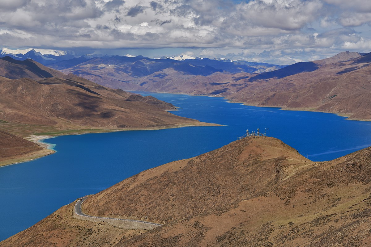
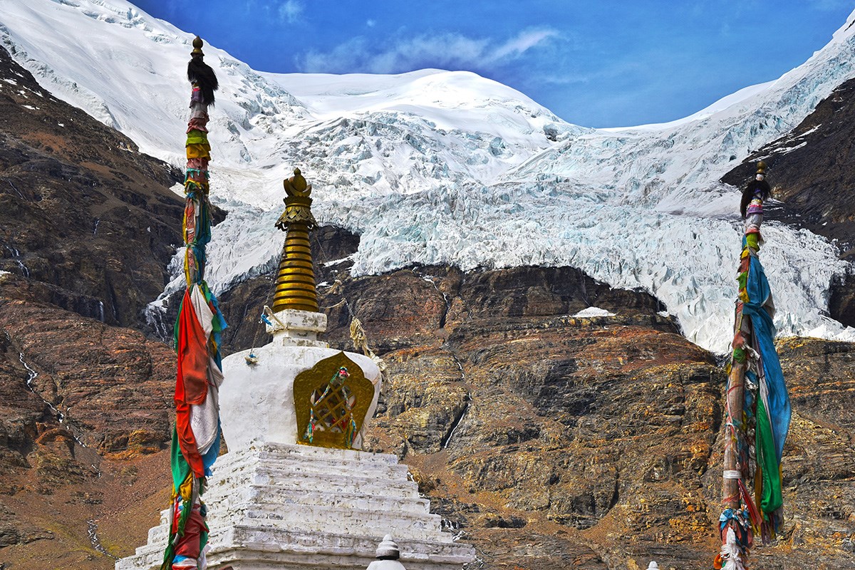
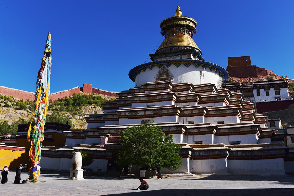
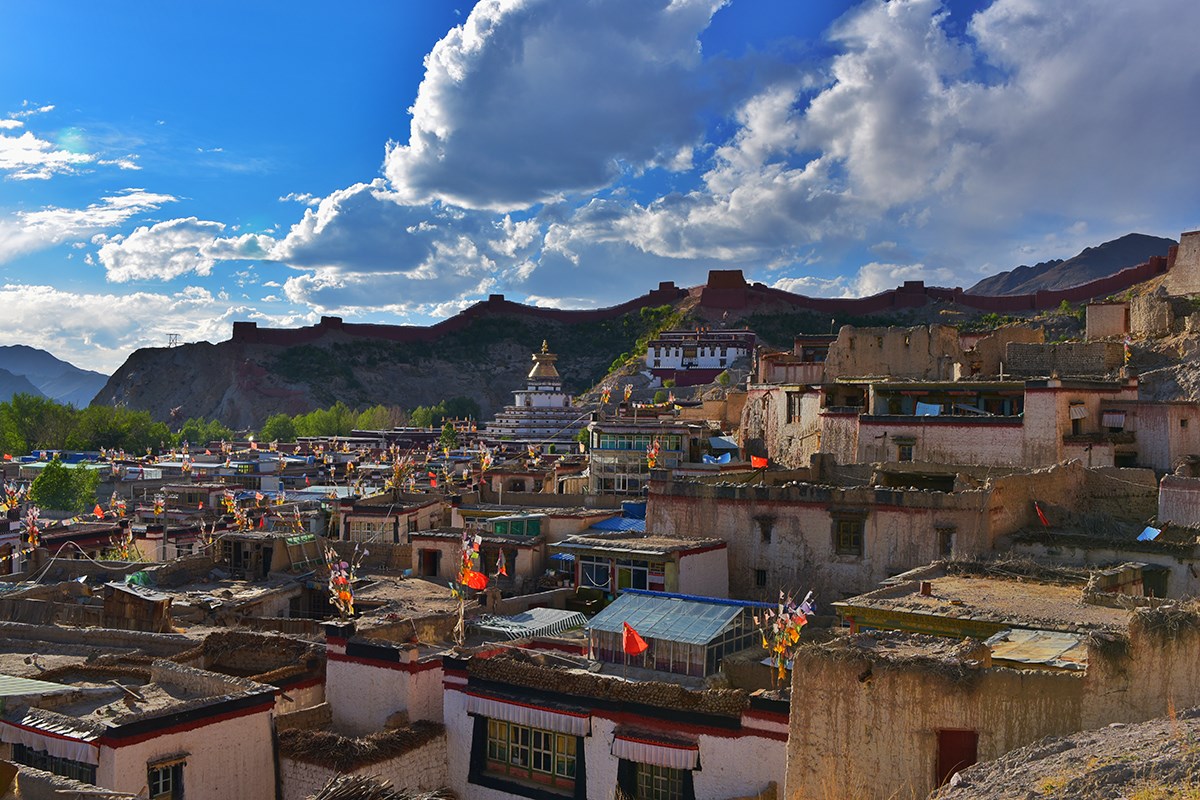
The bikes head west. Kamba La (4,796 m) opens onto Yamdrok Yumtso (4,441 m); beyond it the Karo La glacier (5,010 m) and Simi La drop you into Gyantse. Pelkor Chode and the Kumbum stupa in the afternoon.
Gyantse → Shigatse → Sakya
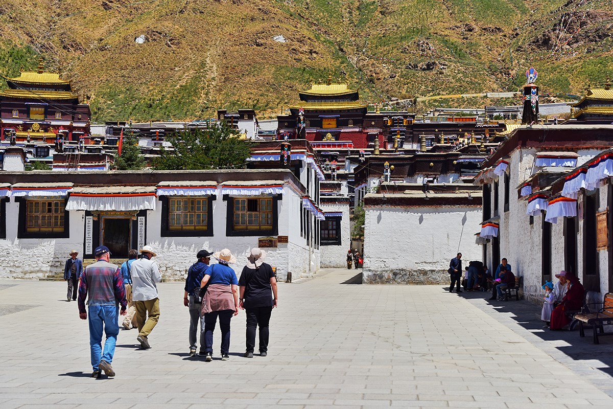
Shigatse (3,836 m) and Tashilunpo Monastery (1447), seat of the Panchen Lama, then on to Sakya County and the Sakya Monastery (1073) - the first and still the principal seat of the Sakya school.
Sakya → Shegar → Jiawu La → Rongbuk → Everest BC
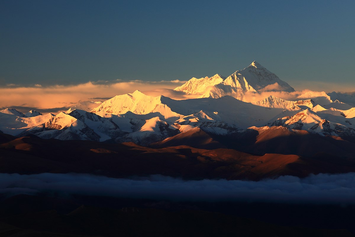
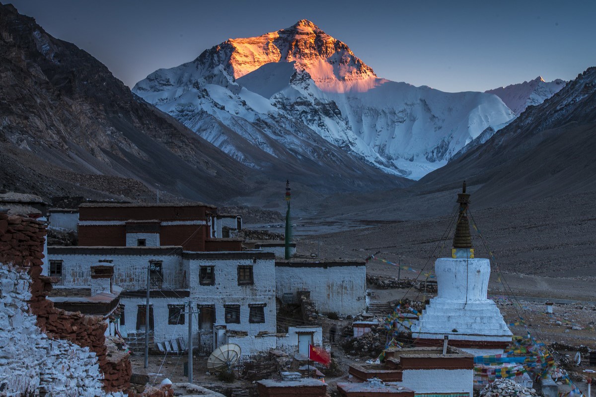
Over Jiawu La (5,210 m) past Shegar, with Makalu, Lhotse, Everest, Nuptse and Cho Oyu across the horizon. Rongbuk Monastery at 4,980 m and Everest Base Camp at 5,154 m, for sunset on the north face.
Rongbuk → Paiku Tso → Saga
Everest at sunrise, then west past Paiku Tso (4,590 m) below Shishapangma. A long day on the plateau to Saga at 4,487 m - the road into western Tibet proper.
Saga → Paryang → Manasarovar
The southern route into West Tibet, with the Himalaya to the south and the Trans-Himalaya to the north. On the last stretch you may see kiang - Tibetan wild ass - and antelope. Late afternoon at Lake Manasarovar, 4,588 m, 330 km² and 82 m deep.
Manasarovar → Chiu Gompa → Darchen
A short hike by Manasarovar and up to Chiu Gompa, the small monastery on the rock above the water. Then an hour to Darchen at 4,800 m, the starting point of the Kailash kora, and a short walk at the foot of the holy mountain - sacred to Hindus, Buddhists, Jains and Bön alike.
Darchen → Saga
The long ride back east along the southern route to Saga.
Saga · Kyirong County · Kyirong Town
South through Kyirong County (4,200 m) and down to Kyirong town at 2,800 m, close to the Nepal border. Distance and riding time for this stage are not recorded in the archive - to be confirmed by operations.
Kyirong → border → Kathmandu
Ride 25 km to the border, return the rental motorcycle and cross into Nepal. Continue to Kathmandu by vehicle arranged by Greatway. The 25 km and 1 hour cover riding to the border only; the onward transfer is separate.
The fine print, in plain words
See it to believe it
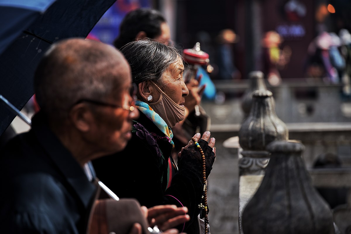
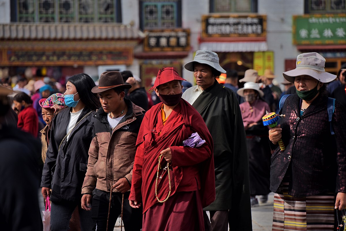
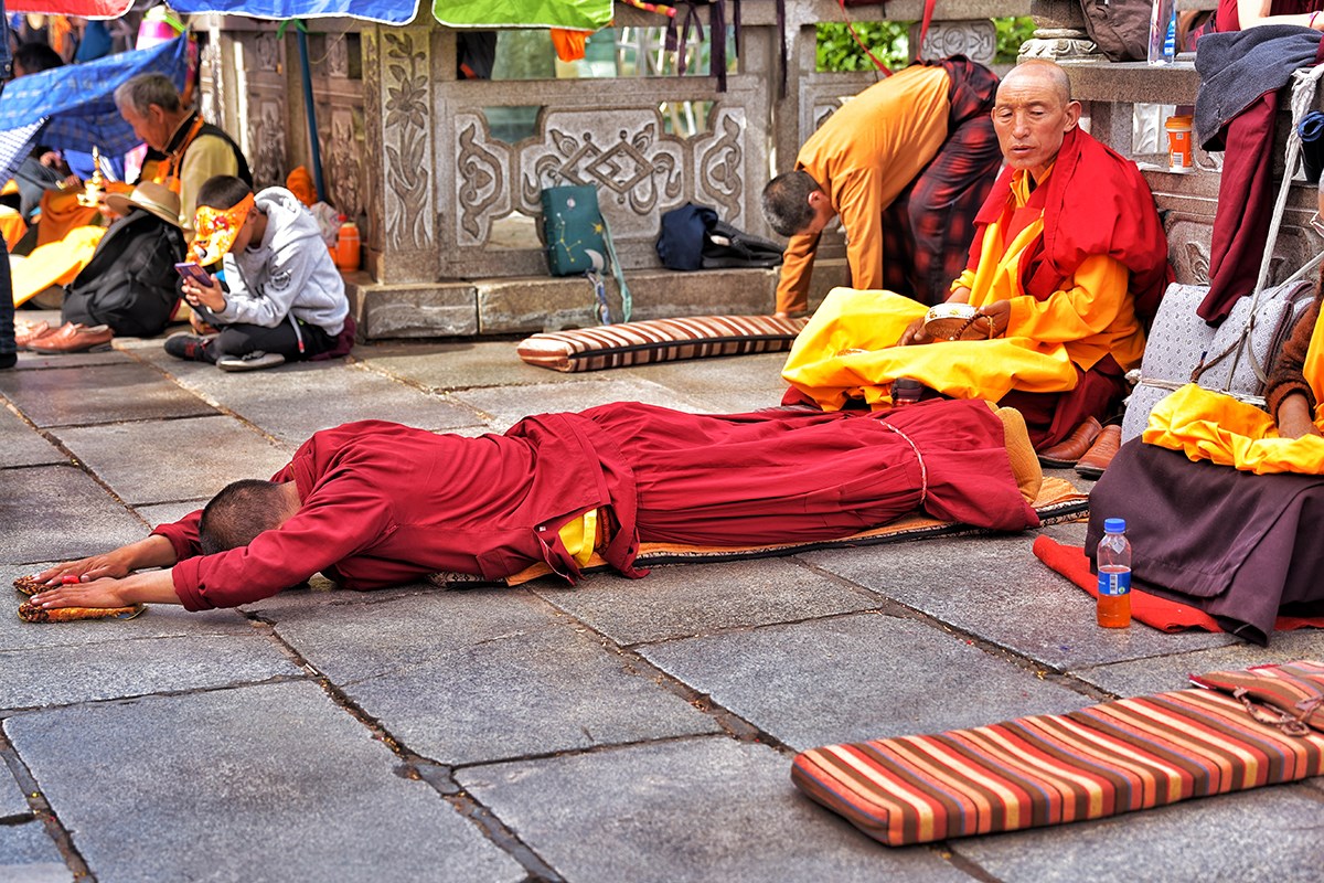
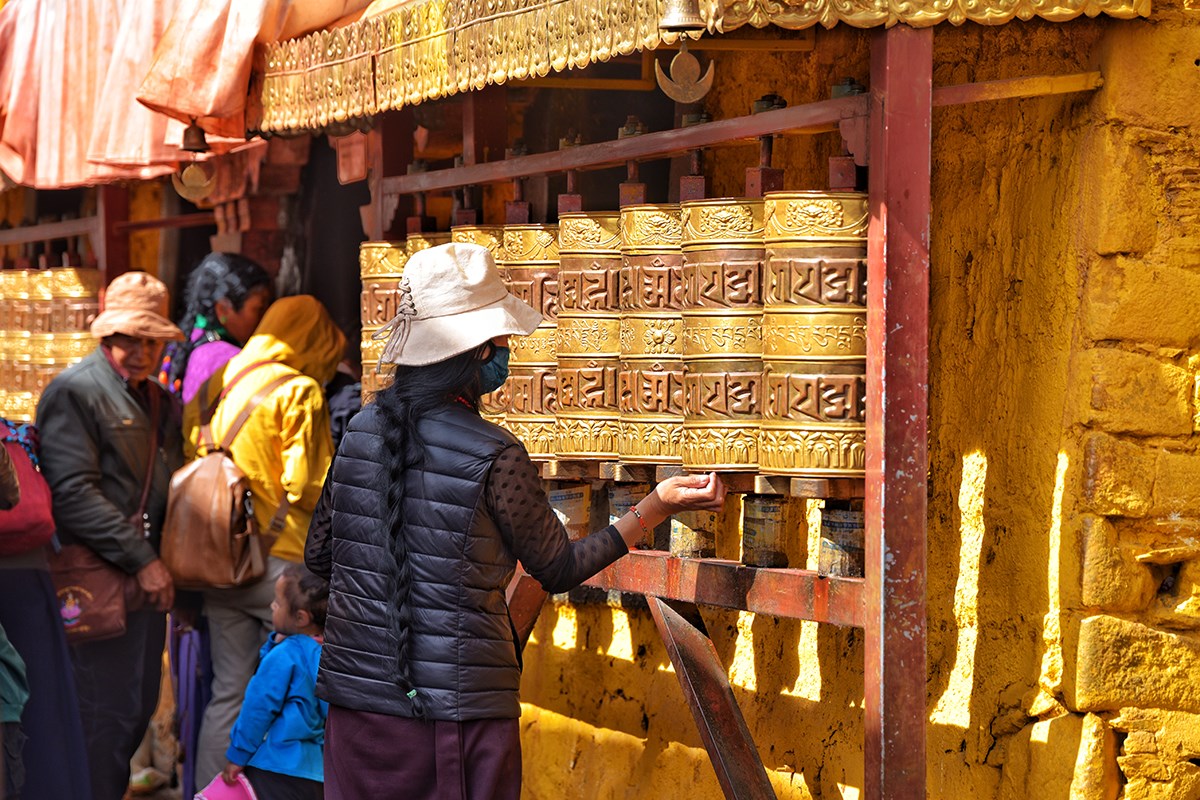
Greatway Collection
Dates & enquiry
Private departures on your dates, roughly April to October. Tell us when you're free and how many are riding - our motorbike travel consultant will get back to you within 24 hours.
Free itinerary design · Customized for your group
We've opened your email app with everything filled in - press send there and it's on its way.
Our motorbike travel consultant will reply within 24 hours.
Nothing opened? Copy your enquiry below and send it to hello@chinamotorcycletravel.com.
Memberships