Xinjiang & Silk Road · Source-backed itinerary
Sayram Lake, the Duku Highway and the Pamir Plateau.
The ride
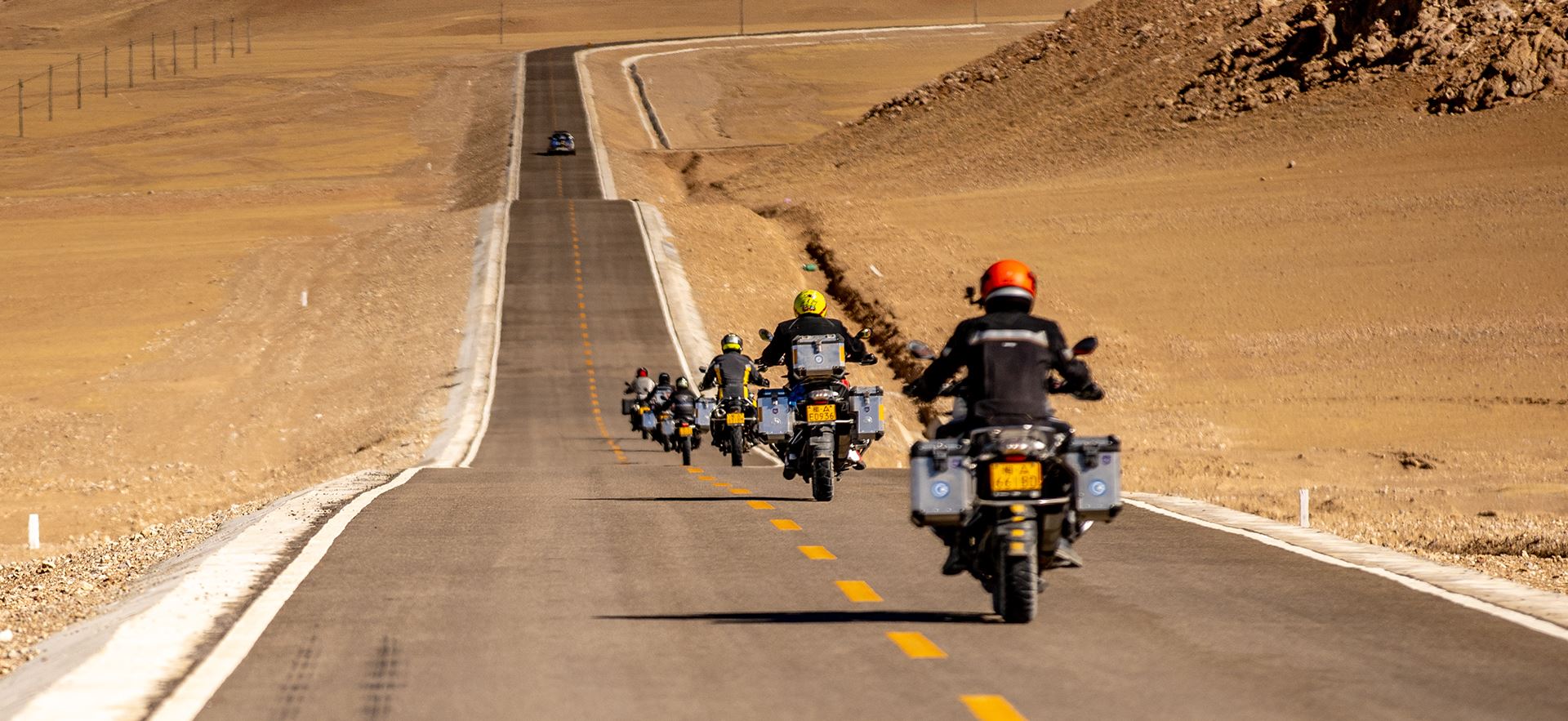
From Urumqi through Sayram Lake, Yining, Zhaosu and Nalati; across the southern Duku Highway to Kuqa, Aksu and Kashgar, then into the Pamir Plateau and back to Kashgar.
Approximately 3,170 km is the subtotal of 12 source-listed motorcycle-activity stages, not the complete journey distance. The source overview states approximately 3,200 km and 11 riding days; Day 8 is called a rest day but includes 80 km of riding. Airport transfers and local formalities are not fully quantified.
North & South Xinjiang
Approved China vector geography; tour connections and visit contexts are schematic. Roads © OpenStreetMap contributors via Geofabrik · ODbL · China road extract · Neighbor context extract. Neighbor land, rivers and foreign boundaries: Natural Earth (public domain).
Destination, featured-visit and stated-road references.
Day references, not a terrain profile. Stated heights are approximate; missing figures remain unavailable. No missing heights are estimated.
Surrounding geography: Natural Earth (public domain). Road context © OpenStreetMap contributors via Geofabrik · ODbL · Scoped context road extract.
Day by day
Original descriptions include historical accommodation and visit details. Confirm current arrangements before travel.
Fly from Singapore via Guangzhou to Urumqi; airport pickup and transfer to the hotel. The supplied itinerary lists CZ8490 03:55–08:15 and CZ6023 11:25–17:05. These are historical source flight details; current flights and transfers require confirmation. Dinner.
Visit the Urumqi vehicle administration office for the temporary driving license (source: Monday to Friday). Collect and prepare the motorcycle and attend the pre-trip briefing. Welcome dinner featuring Xinjiang food. Breakfast, lunch and dinner.
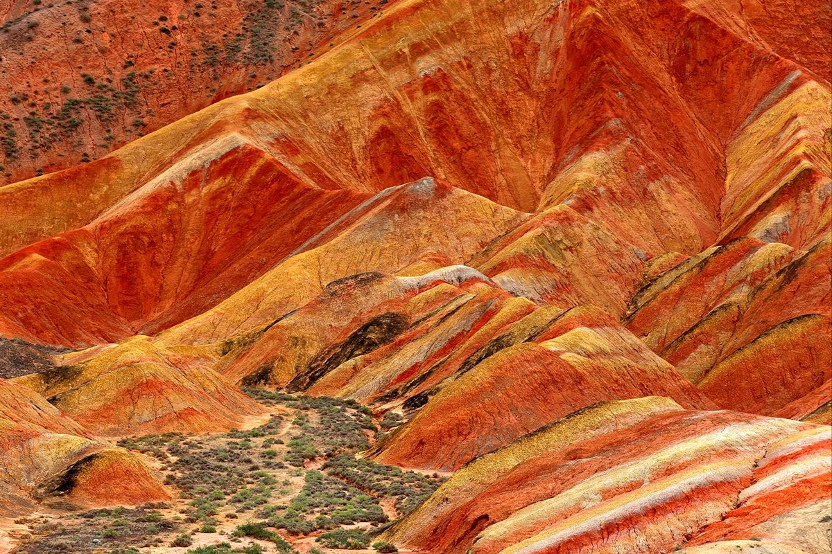
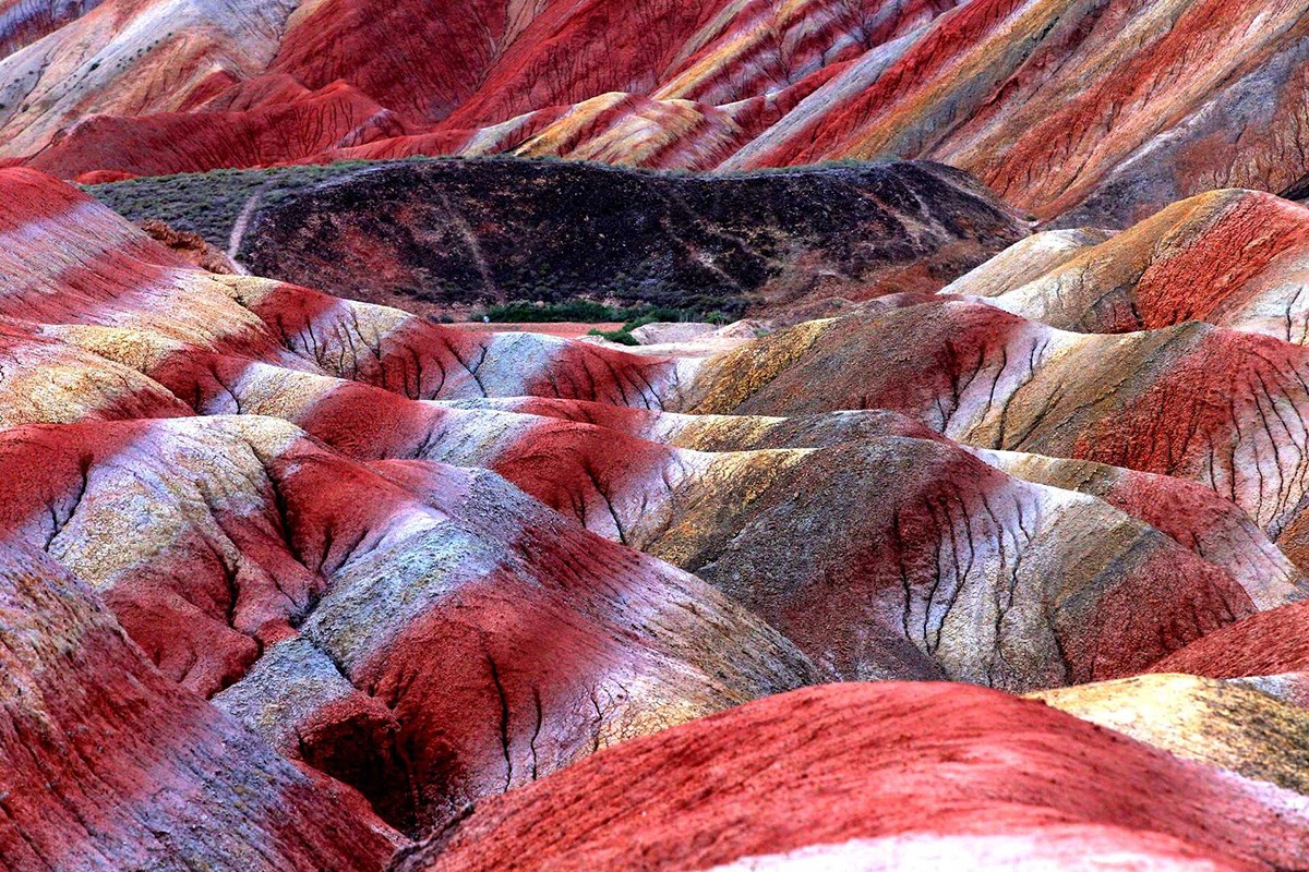
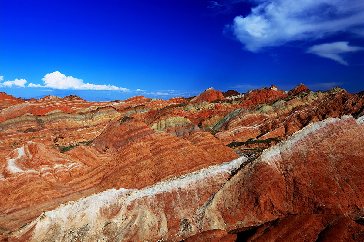
After breakfast, begin riding via the Lianhuo Expressway. Leave at Shihezi and ride S101, built in the 1960s and passing through canyons, grasslands and Danxia landforms. Visit Anjihai Grand Canyon, whose river erosion has formed a large alluvial fan. Approximately 370 km. Breakfast, lunch and dinner.
Visit the monument at the starting point of the Duku Highway, then ride west along the Lianhuo Expressway to Sayram Lake. The source describes the surrounding mountains as exceeding 4,000 m; this is not a lake elevation or rider reference. Sayram Lake is described as the last place reached by warm, moist Atlantic air, hence “the last tear of the Atlantic.” Approximately 340 km. Breakfast, lunch and dinner.
Ride around Sayram Lake early, then pass the Guozigou Bridge toward Yining. Walk through the Kazanqi folk tourism area and experience local life and its blue houses. Approximately 270 km. Breakfast, lunch and dinner.
Ride the Yizhao Highway (source overview: S237), a summer scenic road known as the small Duku Highway and part of the old Gongyue Silk Road. Reach Zhaosu, the home of horses, and watch the source-listed horse-in-the-river performance. Current performance arrangements require confirmation. Approximately 160 km. Breakfast, lunch and dinner.
Visit Tekes, the Eight Trigrams City, whose planning draws on the Book of Changes. Ride along the Tekes River to Nalati Grassland. The source overview lists G577, X765 and G578. Approximately 290 km. Breakfast, lunch and dinner.
The source calls this a rest day but includes approximately 80 km of local riding and visits at Nalati Grassland. Ride the quiet Panlong Valley road and walk through alpine meadows stated at 2,000 m. Riding, sightseeing and walking allowances are not split. Breakfast, lunch and dinner.
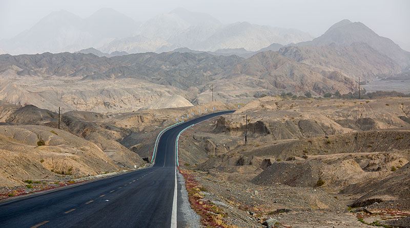
Ride the southern section of the Duku Highway (G217), through canyons and Yardang landforms, visiting the Tianshan Mysterious Grand Canyon. Take photographs at the Duku Highway monument at the end of the road, then reach Kuqa, the old Silk Road center known as Kucha. Approximately 320 km. Breakfast, lunch and dinner.
Visit the Kuqa Royal Palace, where Chinese and Islamic architectural traditions meet. Continue riding south to Aksu, known for its sugar-heart apples. The source overview lists the Tuhe Expressway. Approximately 260 km. Breakfast, lunch and dinner.
Continue south on the Tuhe Expressway to Kashgar. Walk through the old city, its Islamic architecture and local food streets. Approximately 460 km. Breakfast, lunch and dinner.
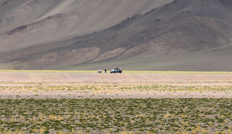
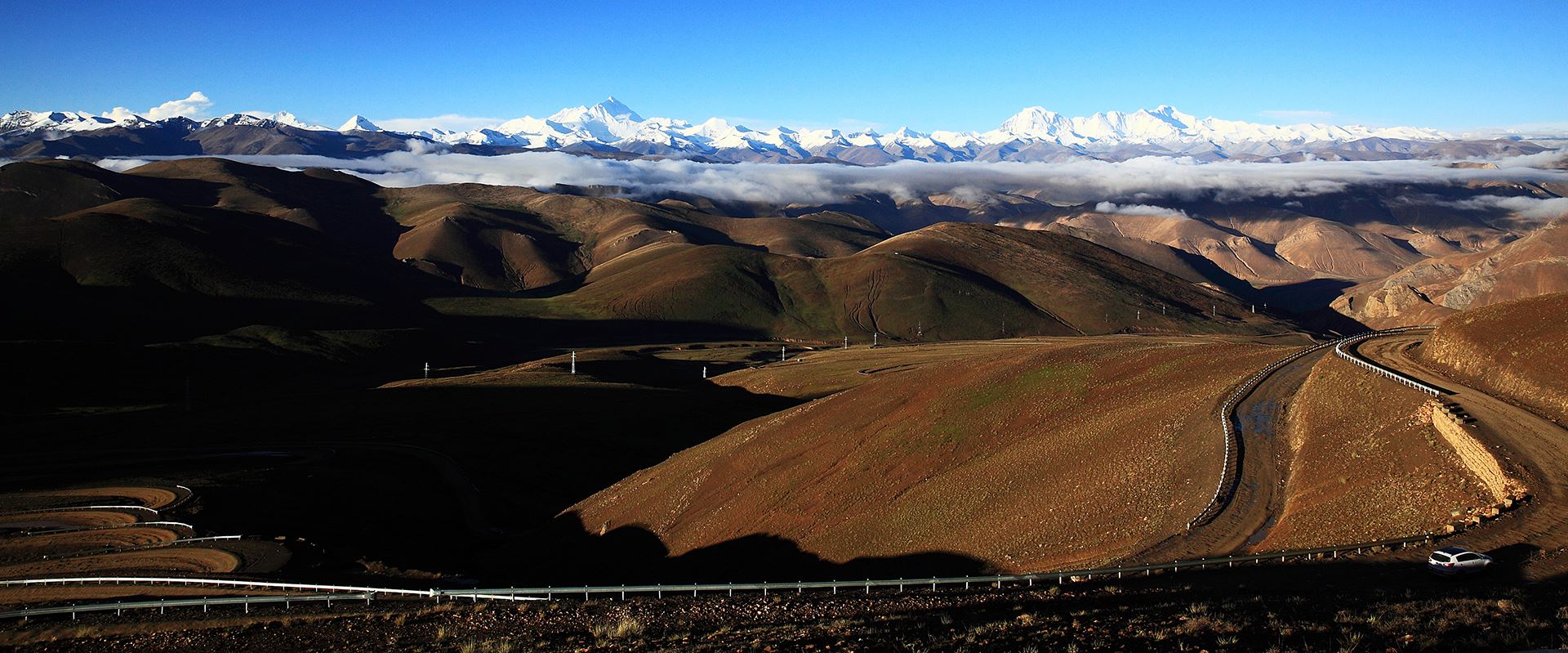
Ride the China–Pakistan Friendship Road / Karakoram Highway (G314) through the Pamir Plateau. Pass White Sand Lake and Karakul Lake at the foot of Muztagh Ata. Visit the source-listed Muztagh Ata glacier area; the stated 7,546 m refers to the mountain summit, not a rider elevation. Reach Tashkurgan in the evening. Current glacier access requires confirmation. Approximately 260 km. Breakfast, lunch and dinner.
Ride the Panlong Ancient Road, described by the source as descending from 4,100 m to 3,000 m with many hairpins exceeding 180 degrees. Ride beside Bandir Blue Lake, then return to Karakul Lake. Stay by the lake and watch sunset over Muztagh Ata. Approximately 180 km. Breakfast, lunch and dinner.
At sunrise, enjoy Muztagh Ata reflected in Karakul Lake. Return to Kashgar, visit Id Kah Mosque and return the motorcycles. Free time and a farewell dinner. Approximately 180 km. Breakfast, lunch and dinner.
Transfer to Kashgar airport and fly via Guangzhou to Singapore. The supplied itinerary lists CZ6835 07:50–13:55 and CZ351 19:25–23:30. Current flights and transfers require confirmation. Breakfast.
The supplied itinerary is a September 2027 group proposal. It includes flights via Guangzhou, Day 2 temporary license formalities and bike preparation, Day 8 local riding and walking, and final airport transfer. Historical flight numbers, hotels and prices are not current service promises.
Motorcycle availability, expressway permissions, Duku and Yizhao access, glacier-area visits, performances and current accommodation require confirmation. Highest rider elevation and riding times are unavailable.
Greatway Collection
Enquiry
Confirm your dates, motorcycle arrangements and current visitor access.
Enquire by emailMemberships